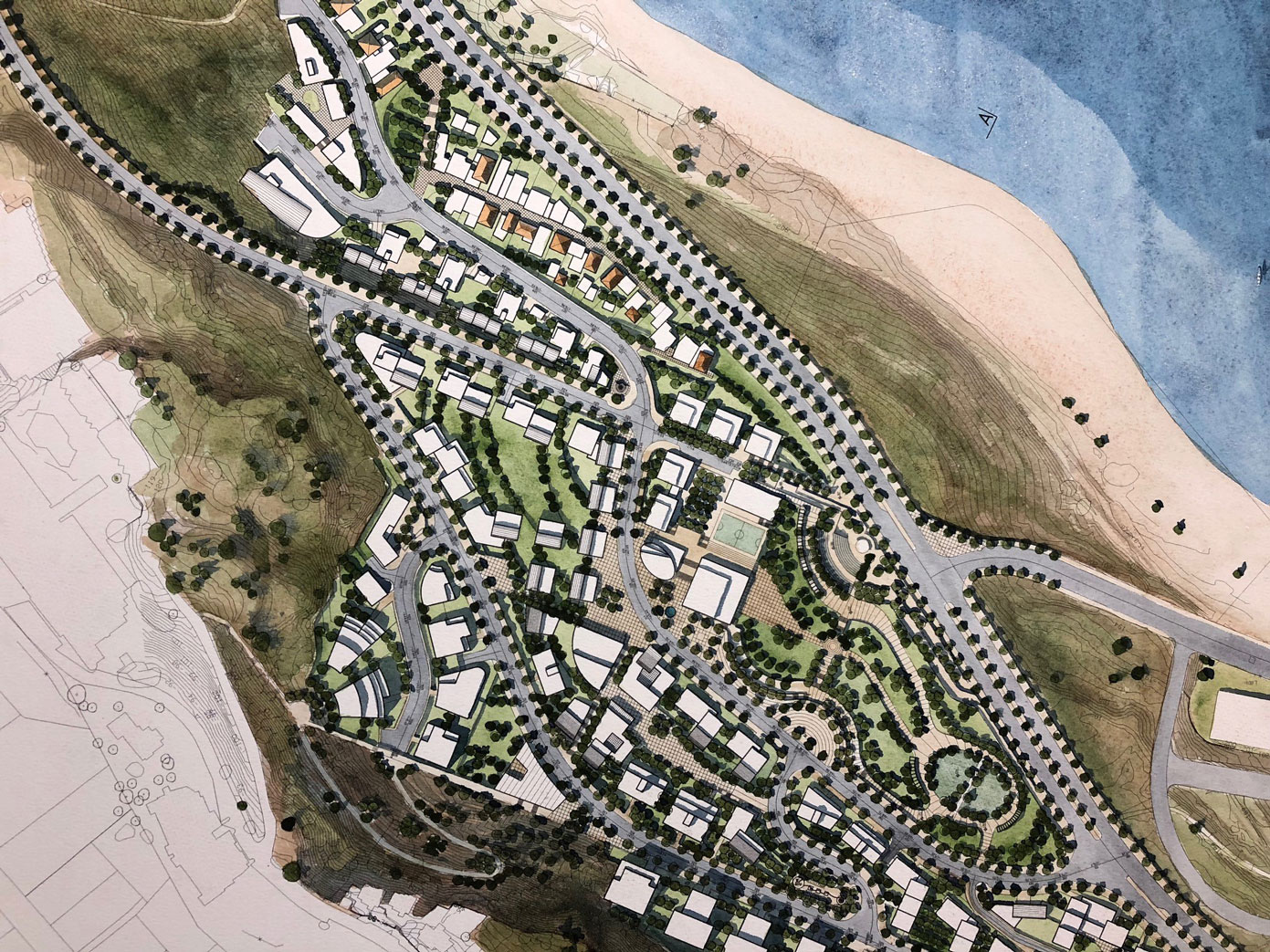
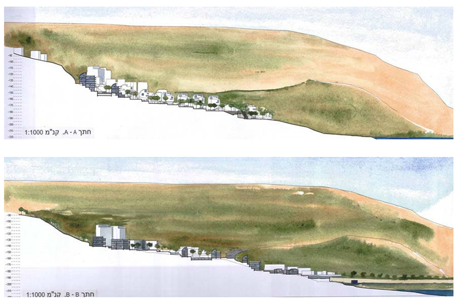
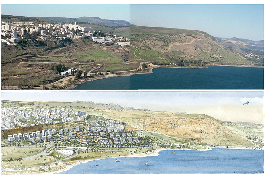
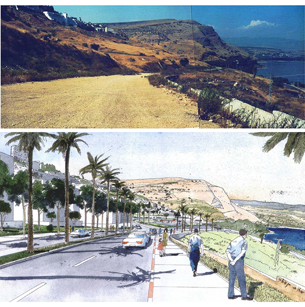
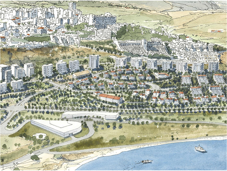
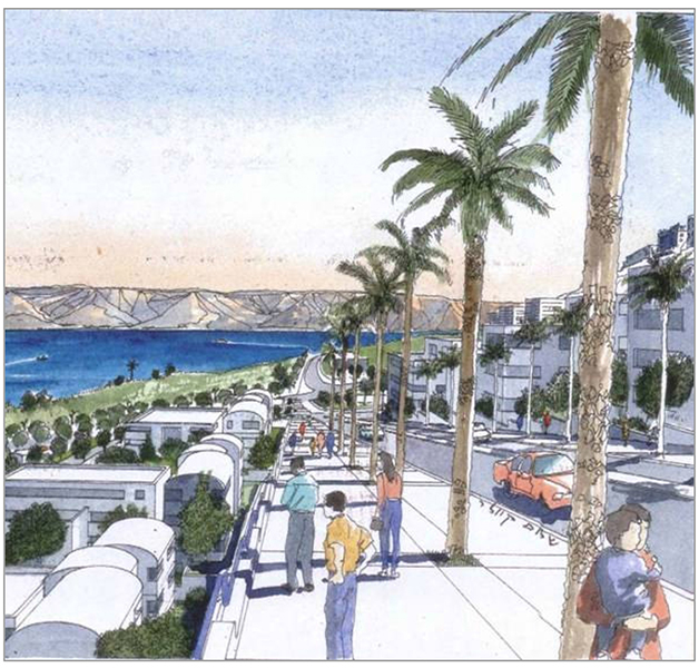
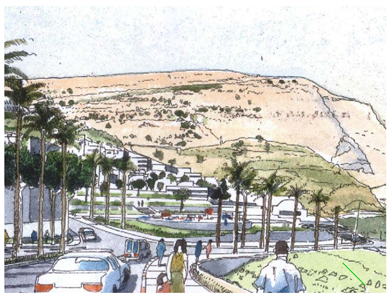
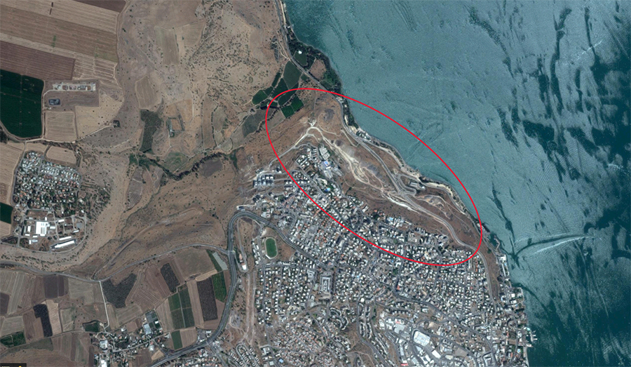
The neighborhood is located on the northern slopes of the city of Tiberias, overlooking the Sea of Galilee, the Golan Heights, Mount Arbel and Tel Raqat, and offering a glimpse of the beautiful YMCA building hidden in the greenery. The place itself is arid, almost devoid of vegetation, a stark contrast made even more conspicuous by the lush vegetation along the coast and Wadi Raqat. A national/regional road separates the neighborhood from the Sea of Galilee.
This neighborhood defines Tiberias’ northern boundary. It will extend the city’s boundaries and will constitute part of the city despite its distance from the center. Along with other planned projects, it will be part of a new district with interlinked neighborhoods that together connect the city on the cliff to the sea below.
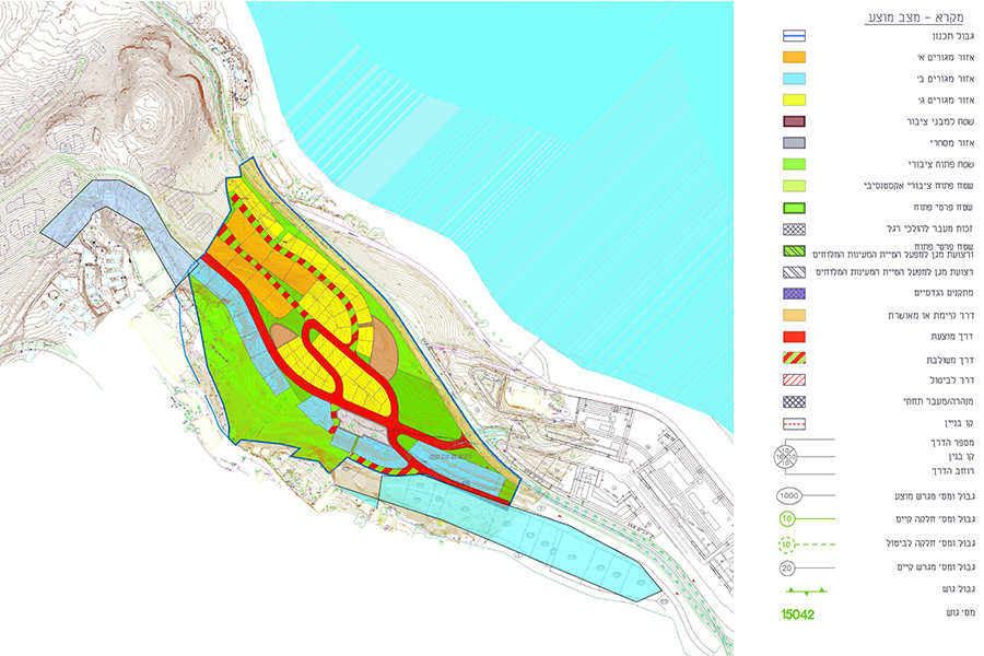
A neighborhood can be part of the identities of those living there. The physical components of a place, their spatial array and the relationship between them affect the lifestyle of the residents, and this arrangement aims to strengthen the identity and uniqueness of the neighborhood, create convenient connections to the surroundings, provide public quality, diversity, inclusive occupancy and mixed uses. All of these together would help empower Tiberias’ urbanity and increase quality of life for all the city’s residents and those of the neighborhood in particular