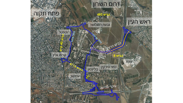
This plan is the first of two stages in the structure plan for the district.
The plan’s goal is to create a new urban district that will mesh physically, socially and economically with the existing city, and encourage its residents to conduct sustainable lifestyles. This will be accomplished through knowledge-based planning and the use of planning tools that ensure good urbanism and intelligent development.
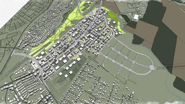
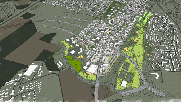
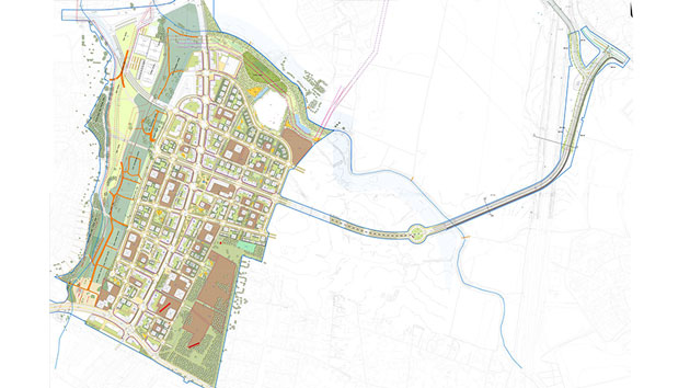
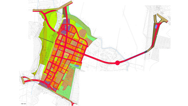
The plan is based on mixed land use, incorporating 8,500 residential units at an average density of 29 units per dunam, and a maximum of 300,000 square meters devoted to commerce and services.
In addition to the district’s educational and public needs, the plan also includes extensive spaces devoted to supplying the educational and public needs of the city as a whole, including large open spaces: an urban park with spaces for sporting activities, a park along the Shilo River, etc.
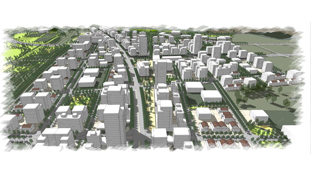
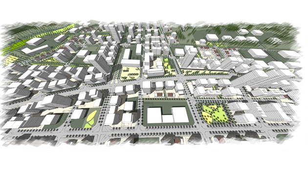
The plan proposes a grid morphology and that combines traditional urban fabric with several large towers. The urban fabric will provide the street facade, and the towers will be located along main routes and in the district’s center. The main thoroughfares will be mixed-use.